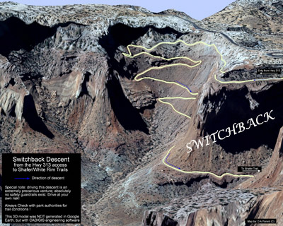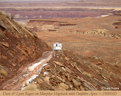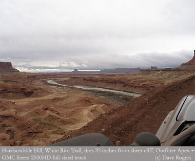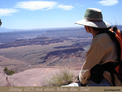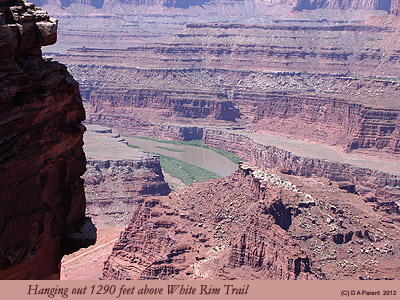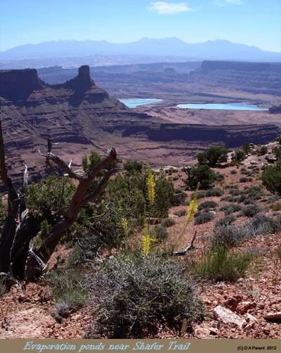

Maps I made of the White Rim and Shafer Trail System, 2012. These maps and supporting illustrations are a part of the truckcamper-travels.ca team effort to provide the absolute best possible information to other truck camper off-road/off-pavement enthusiasts, where detailed maps may be difficult to find, or may be terribly outdated and unreliable, or where quality maps and GPS data are simply not available at all..
By downloading this GPS data and map series, you agree to the following:
To download the White Rim Trail Campsites map along with the GPX waypoint file:
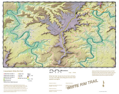
White Rim Trail Map in ANSI C sized drawing
Shafer Trail Map in ANSI C sized drawing
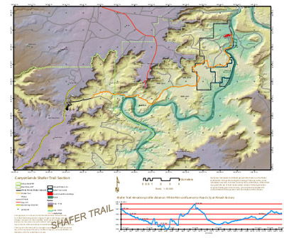
Shafer Trail section from the Moab, Utah approach (A3 size): Map Section 1
Shafer Trail section from the Moab, Utah approach (A3 size): Map Section 2
Shafer Trail section from the Moab, Utah approach (A3 size): Map Section 3
Shafer Trail section from the Moab, Utah approach (A3 size): Map Section 4
Switchback drive down to Shafer Trail from Hwy 313 for viewing on HDTV or computer
